Alex Beck · 12 September 2026
Alderway Volunteers Initiate Citizen Science Project to Document Seasonal Spring Flows and Hidden Water Sources
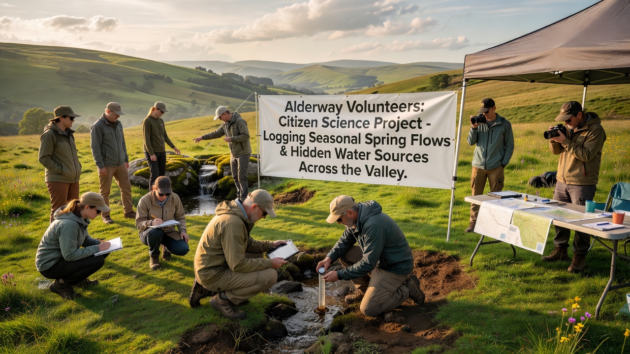
Volunteers across the Alderway valley began a coordinated citizen science effort in September 2026 to record seasonal spring flows and locate previously undocumented water sources, and the project draws on local knowledge combined with standardized data collection protocols. Participants use mobile applications and field notebooks to log flow rates, water temperature, and GPS coordinates at regular intervals throughout the year. Training sessions held at community centers introduced basic hydrological measurement techniques while emphasizing consistent recording practices that align with established environmental monitoring standards.
Project Scope and Data Collection Methods
The initiative covers the full extent of the valley floor and surrounding slopes where springs emerge during wetter months, and teams divide the area into mapped zones to avoid duplication while ensuring comprehensive coverage. Volunteers measure discharge volumes using simple weir plates and timed collection methods, then upload readings to a shared database managed by local environmental coordinators. Seasonal variations receive particular attention because spring flows often diminish or disappear entirely during drier periods, creating gaps in existing hydrological records that this project aims to fill.
Hidden water sources present an additional focus, with participants noting seepages, small tributaries, and groundwater upwellings that do not appear on current ordnance survey maps. These observations receive verification through follow-up visits by more experienced volunteers before inclusion in the central dataset. Equipment remains basic and accessible, consisting of waterproof tablets, measuring tapes, and pH test strips supplied through community grants.
Background on Valley Hydrology and Prior Records
Existing water data for the Alderway area stems largely from occasional surveys conducted by regional agencies during infrastructure planning, yet these records leave significant gaps regarding seasonal dynamics and smaller sources. Historical maps show several named springs that have shifted or reduced in output over recent decades, prompting the need for updated observations. Similar citizen science efforts elsewhere have demonstrated that volunteer-collected data can supplement official monitoring networks when protocols match professional standards.
According to information published by the U.S. Geological Survey on volunteer hydrology programs, consistent local measurements improve understanding of groundwater recharge patterns across varied terrains. The Alderway project adapts comparable approaches while tailoring them to the specific geology of the valley, which features limestone outcrops and clay layers that influence spring locations.
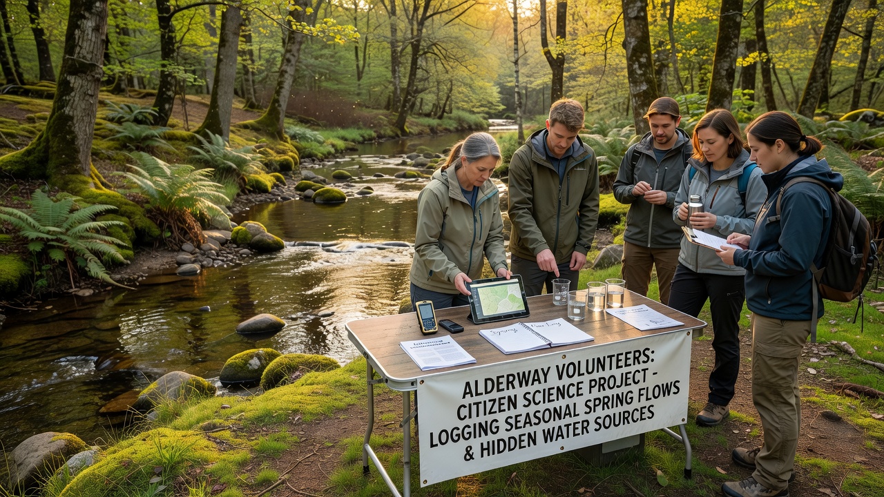
Participation remains open to residents of all ages who complete the introductory training, and organizers schedule monthly meetings to review data quality and address any collection challenges. One early participant noted unusual flow patterns near an abandoned quarry, leading to additional mapping in that sector. Such discoveries highlight how local familiarity with the landscape contributes details that remote sensing often misses.
Integration with Existing Environmental Monitoring
Project coordinators have established connections with regional water authorities to share anonymized datasets, allowing the information to inform broader catchment management plans. The database structure follows formats recommended by the Australian Bureau of Meteorology for community water monitoring, which facilitates potential future comparisons with international records. Updates occur quarterly, with preliminary findings presented at public meetings to maintain community engagement.
Equipment calibration checks take place at the start of each season, and volunteers receive guidance on distinguishing between surface runoff and true spring discharge. This distinction matters because the project targets perennial and intermittent springs rather than ephemeral drainage. Data validation procedures include cross-checks between neighboring zones and review of photographs submitted alongside numerical entries.
Conclusion
The citizen science project continues through 2027 with plans to expand coverage into adjacent tributaries once initial valley mapping reaches completion. Accumulated records will contribute to updated hydrological assessments that support local planning decisions and conservation efforts. Volunteers maintain the database as an open resource while adhering to privacy guidelines that protect specific site locations of sensitive features. Ongoing recruitment drives target additional participants to sustain coverage across all four seasons.