Katja Lehmann · 26 September 2026
Alderway's Beekeepers Launch Seasonal Pollen Count Initiative to Map Local Forage Patterns
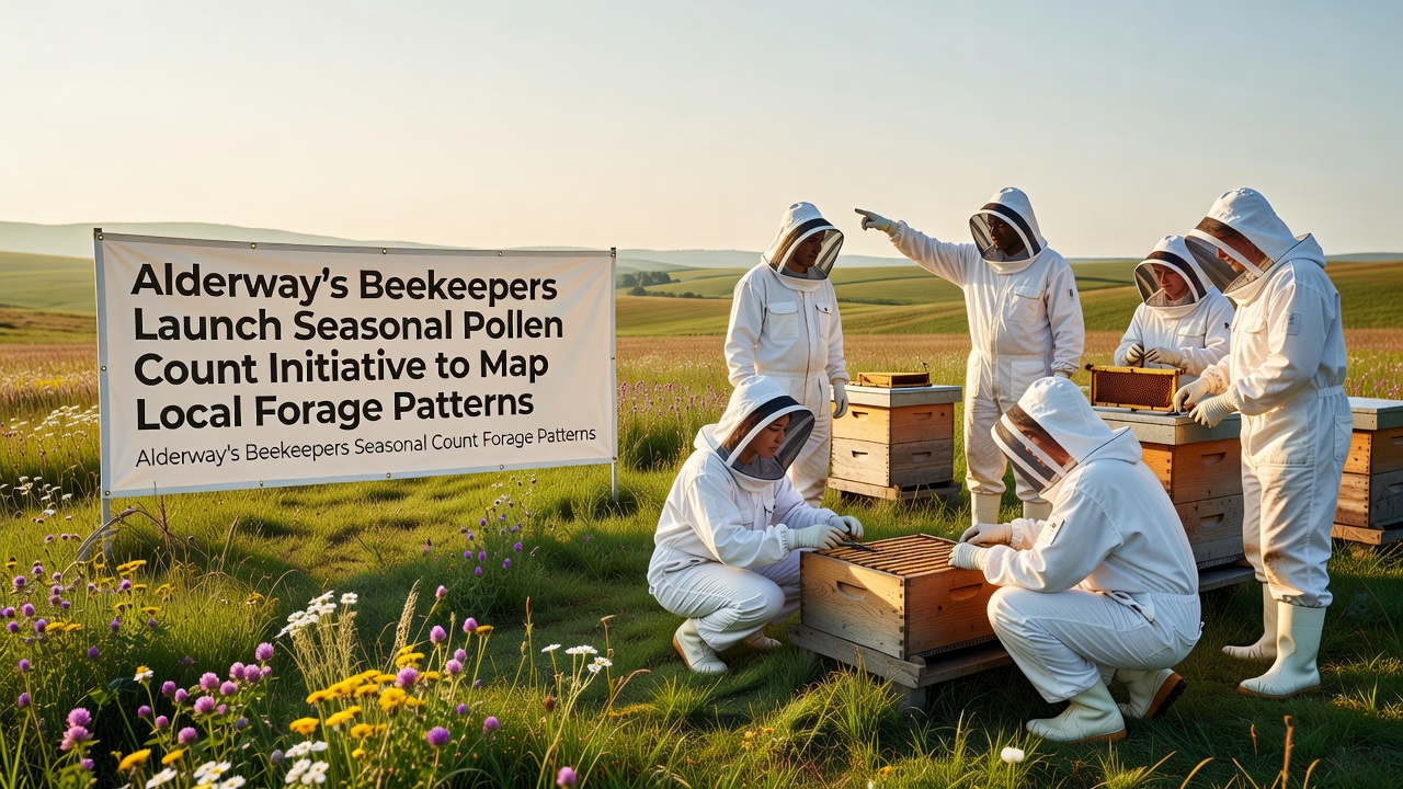
Local beekeepers in Alderway have started a seasonal pollen count initiative designed to track and map forage patterns across the surrounding countryside, with the project set to gather data starting in September 2026. The effort brings together several apiary groups who will collect samples from hives positioned at different elevations and habitat types throughout the valley and adjacent woodlands.
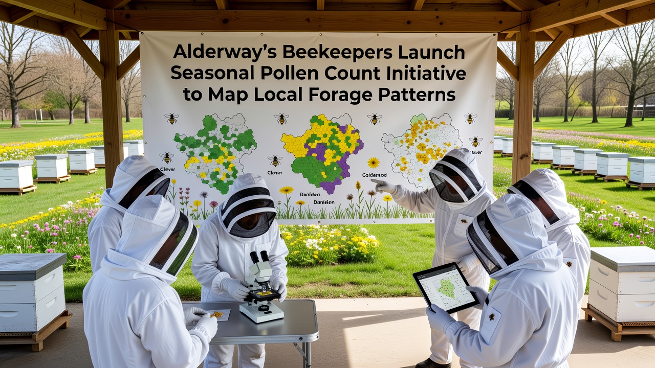
Participants plan to monitor pollen types gathered by honeybees during each season, recording variations that reflect changes in flowering plants available to pollinators. Data collection involves standardized traps fitted to hive entrances, followed by microscopic analysis at a community laboratory space recently established near the old mill site.
Background on Alderway's Beekeeping Community
Alderway has maintained active beekeeping groups for more than two decades, with records showing steady increases in registered hives since 2015 according to council environmental reports. Those involved have previously collaborated on projects that documented nectar flows and hive health, creating a foundation for the current pollen-focused work. The new initiative expands those earlier efforts by adding systematic mapping of plant sources that support both managed and wild pollinators.
Seasonal shifts in available forage have drawn attention from local observers who note that certain tree species and meadow plants appear at different times each year. By building a detailed record of pollen composition, the project aims to identify which areas provide consistent resources and which zones show gaps during critical months.
Details of the Pollen Count Initiative
The program operates through a network of twelve fixed monitoring sites distributed across farmland, woodland edges, and roadside verges. Each site features multiple hives equipped with pollen traps that activate for forty-eight hour periods on a rotating schedule. Samples undergo sorting by color and shape before identification under microscopes, allowing volunteers to categorize pollen grains by plant family.
Training sessions scheduled for late summer 2026 will cover sample handling techniques and data logging procedures, drawing on protocols developed by regional agricultural extension services. Participants expect the first complete dataset to cover autumn flows in September 2026 before expanding to full annual cycles.
Mapping Local Forage Patterns
Collected data will feed into geographic information system layers that highlight zones of high and low pollen diversity. Maps produced through this process are intended to guide future planting decisions by landowners and community groups interested in supporting pollinator populations. Similar mapping approaches have been used in other regions, with one study from the US Environmental Protection Agency demonstrating how pollen records can reveal habitat connectivity issues across agricultural landscapes.
Observers note that combining local counts with broader environmental data sets could help pinpoint periods when forage becomes limited, such as late summer gaps before ivy and other late-flowering species become dominant. The resulting maps will remain accessible through a public portal hosted by the Alderway community archive.
Community Involvement and Data Sharing
School groups and gardening clubs have been invited to contribute observations of flowering plants near the monitoring sites, adding ground-level verification to hive-collected samples. Weekly update meetings at the village hall allow volunteers to review preliminary findings and adjust collection schedules as needed. This collaborative structure mirrors citizen science models that have produced reliable long-term datasets in comparable projects elsewhere.
One partnership with a university botany department in Canada has already supplied reference pollen slides for local species identification, while another connection to an Australian research network provides comparative data on eucalyptus and acacia flows that share characteristics with certain Alderway woodland plants. These exchanges broaden the interpretive context without requiring additional travel.
Expected Outcomes and Timeline
By the end of the first full year, organizers anticipate a baseline map showing seasonal pollen sources at a resolution of one hundred meters. Subsequent years will track changes against this baseline, particularly after any land management alterations or extreme weather events. Preliminary results from the September 2026 launch phase are scheduled for release in early 2027 through community presentations and an online dashboard.
Equipment costs have been covered through a combination of local fundraising and small grants from environmental trusts, keeping participation open to volunteers without specialized budgets. Regular calibration checks on traps and microscopes help maintain consistency across all collection sites.
Conclusion
The Alderway pollen count initiative establishes a structured approach to documenting forage availability that can inform both immediate beekeeping practices and longer-term habitat planning. Through consistent sampling and open data sharing, the project connects local observations with wider research efforts on pollinator support. As the first season of collection begins in September 2026, the resulting maps are positioned to serve as a practical resource for anyone managing land or studying plant-pollinator interactions in the region.