Erik Wolf · 24 October 2026
Alderway's Old Coaching Routes Come to Light Through Newly Uncovered Traveler Diaries
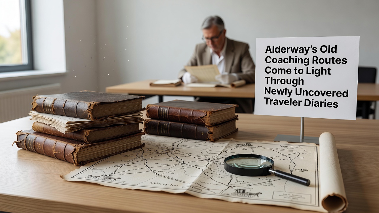
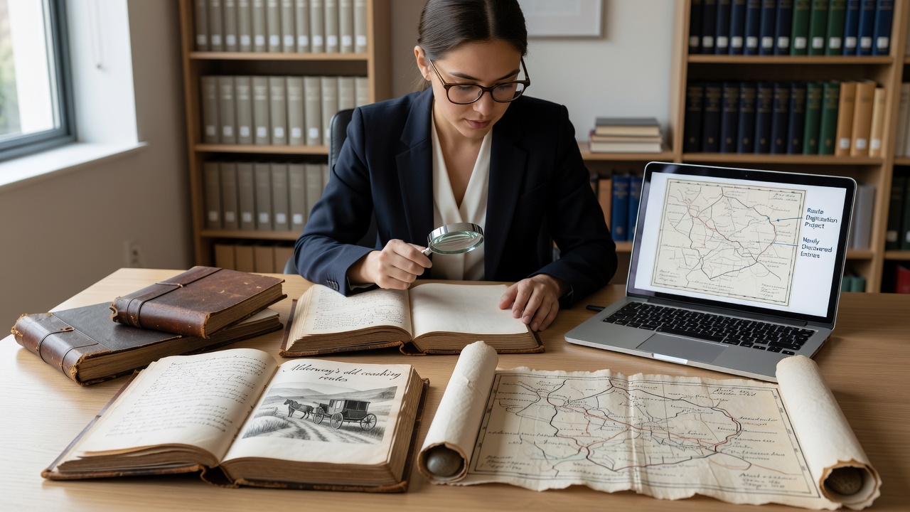
Local historians have brought forward a collection of traveler diaries that detail coaching routes across Alderway from the late eighteenth and early nineteenth centuries, and these documents now sit at the center of renewed efforts to map the area's pre-railway transport network. The diaries surfaced earlier this year during a routine cataloguing project at a regional archive, where staff identified entries describing stagecoach stops, road conditions, and passenger experiences along paths that once connected Alderway to nearby market towns.
Discovery and Initial Review
Archivists found the volumes among a larger donation of personal papers from a family with long ties to the region, and cross-referencing with parish records confirmed the writers as regular travelers between 1785 and 1812. Entries describe departures from the old coaching inn near what is now the community hub site, with stops at remote farmsteads and toll gates that no longer exist on modern maps. Researchers note consistent references to a northern route skirting the woodland edge and a southern path that followed the river valley, both of which carried mail and passengers before turnpike improvements altered some alignments in the 1820s.
Details Revealed in the Diaries
One diarist recorded journey times of six to eight hours between Alderway and the next major coaching station, while another noted seasonal challenges such as flooded fords in spring and frost damage on steeper sections during winter. These accounts align with broader patterns documented in period transport ledgers, where operators adjusted schedules around weather and daylight hours. The diaries also list specific landmarks used for navigation, including a stand of oak trees near a former milestone and a stone bridge that still carries local traffic today. Such details allow cartographers to overlay the routes onto current topography with greater precision than earlier reconstructions based solely on surviving turnpike acts.
Connection to Wider Historical Records
According to transport studies held by the National Archives, stagecoach services through similar rural corridors declined sharply after 1830 as rail lines expanded, yet the diaries capture the final decades of active use. Observers note that the documents include passenger counts and cargo manifests that match toll collection data from the same period, strengthening their reliability as primary sources. A 2024 analysis by researchers at the University of Exeter compared these entries with equivalent diaries from Devon and Cornwall, revealing comparable route densities and stop frequencies across southwest England. The Alderway materials add a localized layer, showing how smaller settlements served as relay points rather than terminals.
October 2026 Exhibition Plans
Planning documents indicate that a public exhibition of the diaries and reconstructed route maps will open in October 2026 at the Alderway community hub, with digital versions made available through the local heritage website. Organizers expect the display to incorporate interactive overlays that let visitors trace the old paths against present-day footpaths and cycle routes. Funding for the project draws partly from a council heritage grant awarded in 2025, while volunteer groups have begun clearing sections of the southern route identified in the diaries to create a walking trail.
Implications for Local Heritage Work
Those involved in the citizen science water monitoring project have already begun noting how the coaching routes intersect with documented spring flows, since several diary entries mention reliable water sources used by horses and travelers. This overlap provides new data points for mapping hidden water features that persist in the landscape. Meanwhile, beekeepers participating in the pollen count initiative report that certain meadow edges along the northern route still support diverse forage plants consistent with the open verges described in the diaries. Such connections illustrate how transport history intersects with ongoing environmental records without requiring new fieldwork beyond existing efforts.
Conclusion
The diaries now form part of a growing archive that supports future studies of rural mobility before the railway age, and digitization work scheduled for completion ahead of the 2026 exhibition will allow wider access. Local records show steady interest in these materials since their identification, with requests for viewing appointments rising through the summer months. Further analysis continues as additional cross-references with estate maps and parliamentary papers refine the route alignments, adding detail to an era when Alderway functioned as a waypoint on longer coaching networks.